Take-off — automatic measurement from the map
Trace the area on the satellite map and Olynx computes surface, pitch, perimeter and volume with waste factor. Works for roofing, landscaping, concrete, fencing and painting.
Measure roofs, yards, driveways and perimeters — without climbing, without walking.
Everything that's included.
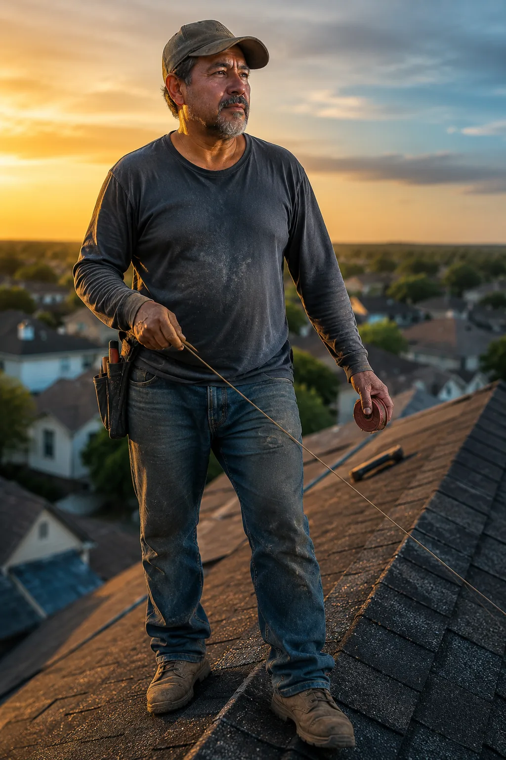
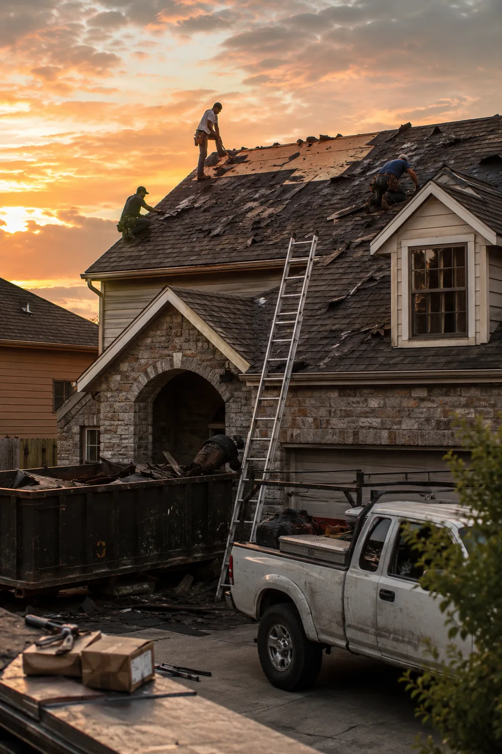
Roof measurement
Area + automatic pitch + shingle bundles.
Yard measurement
Turf, edges and hardscape separated.
Concrete yardage
Area × thickness × waste = cubic yards.
Fence perimeters
LF + gates + corners automatic.
Paint surfaces
Walls, ceilings and trim separated with coverage per gallon.
In 4 steps.
- 01
Open the map
Search the address — the satellite map loads.
- 02
Trace the area
Trace the perimeter with clicks. Smart tools snap to corners.
- 03
Get the measurements
Area, perimeter, pitch, volume — all with your waste factor.
- 04
Flows into the estimate
Measurements feed the estimate without re-entering anything.
Built for…
Roofers paying EagleView $60+ per report.
Landscapers measuring with wheel and tape.
Concrete contractors calculating yardage on paper.
What people ask the most.
For residential roofs and typical yards: ±3%. For complex commercial roofs, use EagleView in parallel.
Wherever Google/Mapbox has satellite imagery — basically all of the US.
No. Take-off is included in the $349/mo Founders plan. No measurement limits.

Ready to scale?
Join thousands of service professionals who use Olynx to grow and manage their operations without the growing pains.